Remote Sensing Data Processing
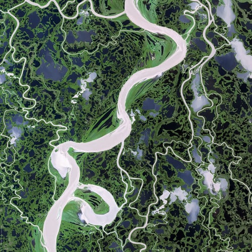
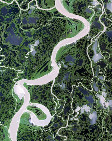
Remote sensing is a method which eases the whole process of acquisition of data by using satellites, airplanes, drones to capture data on a wide range easily, quickly and accurately. Remote sensing also enables us to take data from places which are hard to reach physically. Polosoft expertise in remote sensing services, and we make sure of the accuracy and cost-effective data collection, which is a vital input for planning and designing of any mapping project.Remote sensing spatial data can help considerably to show vulnerable areas, enhance mapping, and ameliorate the understanding of hazards and their complex interactions. The main advantages to be outlined refer to the spatially extending information collection, data base creation and the monitoring capabilities.Remote sensing technology is used in a wide variety of disciplines in thousands of different use cases, including most earth sciences, such as meteorology, geology, hydrology, ecology, oceanography, glaciology, geography, and in land surveying, as well as applications in military, intelligence, commercial, economic and also government use the information for decision making civil defence operations, police and Geographic Information Systems (GIS) in general.
Let's talk
info@aegisgy.com
+67 002 344 13 65