Digital Photogrammetry Services

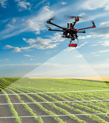
Digital Photogrammetry is the science of capturing the pictures of the surface and generating digital terrain models (DTM), digital elevation model (DEM), digital surface models (DSM), 3D land models etc.While aerial imagery helps with accurate measurement of land features, surface models and volumetric data, photogrammetric surveys provide an efficient and cost-effective means of developing topographic mapping for your project.Polosoft offers photogrammetric services from Aerial photographs and stereo satellite images using the newest aerial and satellite photography equipment, software and state-of-the-art technology. Polosoft provides photogrammetric solutions to satisfy the user’s needs with the simplest quality and at a globally competitive price. The solutions are tailor-made and support the precise requirements of the clients.
Let's talk
info@aegisgy.com
+67 002 344 13 65